SUNY ESF
Cloud Free Landsat Data in Syracuse

| Landsat Scene Identifier | Path | Row | Sensor Identifier | Data Acquired | Scene Cloud Cover | Image Click to view source |
| LC80160302016111LGN00 | 16 | 30 | OLI_TIRS | 2016/04/20 | 0 | 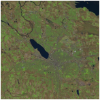 |
| LC80150302016104LGN00 | 15 | 30 | 2016/04/13 | 0 | 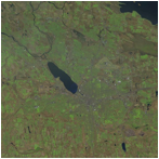 |
|
| LC80150302015197LGN00 | 15 | 30 | OLI_TIRS | 2015/07/16 | 0 | 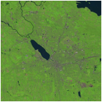 |
| LC80160302015092LGN00 | 16 | 30 | OLI_TIRS | 2015/04/02 | 0 | 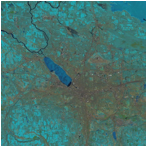 |
| LT50160302010110PAC01 | 16 | 30 | TM | 2010/04/20 | 0 | 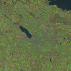 |
| LT50150302010151GNC02 | 15 | 30 | TM | 2010/05/31 | 0 | 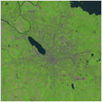 |
| LT50160302005192GNC01 | 16 | 30 | TM | 2005/07/11 | 0 | 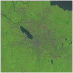 |
| LT50150302005185GNC01 | 15 | 30 | TM | 2005/07/04 | 0 | 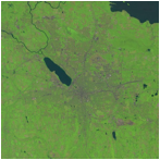 |
| LT50160302005112GNC01 | 16 | 30 | TM | 2005/04/22 | 0 | 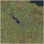 |
| LE70160302000235EDC00 | 16 | 30 | ETM+ | 2000/08/22 | 0 | 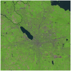 |
| LT50160302000115AAA02 | 16 | 30 | TM | 2000/04/24 | 0 | 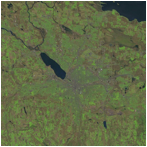 |
| LT50150302000092AAA01 | 15 | 30 | TM | 2000/04/01 | 0 | 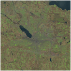 |
| LT50160301995213PAC02 | 16 | 30 | TM | 1995/08/01 | 0 | 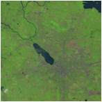 |
| LT50160301995101PAC03 | 16 | 30 | TM | 1995/04/11 | 0 | 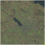 |
| LT50150301990208XXX01 | 15 | 30 | TM | 1990/07/27 | 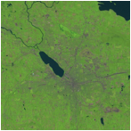 |
|
| LT50160301990183PAC04 | 16 | 30 | TM | 1990/07/02 | 0 | 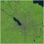 |
| LM50160301990151PAC04 | 16 | 30 | MSS | 1990/05/31 | 0 | 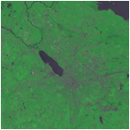 |
| LT50150301985210XXX03 | 15 | 30 | TM | 1985/07/29 | 0 | 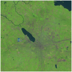 |
| LT50150301985194PAC01 | 15 | 30 | TM | 1985/07/13 | 0 | 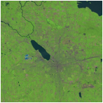 |
| LT50150301985114AAA03 | 15 | 30 | TM | 1985/04/24 | 0 | 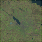 |
| LM20160301981192AAA03 | 16 | 30 | MSS | 1981/07/11 | 0 | 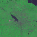 |
| LM20170301981085PAC04 | 17 | 30 | MSS | 1981/03/26 | 0 | 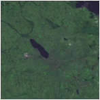 |
| LM10160301975161AAA05 | 16 | 30 | MSS | 1975/06/10 | 0 | 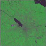 |
| LM10160301975107AAA05 | 16 | 30 | MSS | 1975/04/17 | 0 | 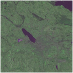 |
| LM10170301972232PAC07 | 17 | 30 | MSS | 19752/08/19 | 0 | 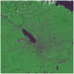 |