


Runoff Calculator Page 3: Northwestern US Precipitation Data
This page will help you determine the precipitation depth of a design storm in your area. The particular storm is one that would last for 24 hours, and has the probability of returning once every 10 years.
This specific storm event is often suggested by design manuals to size stormwater structures to reduce the contribution of runoff volumes to the sewer system.
Step 1:
A 6 page PDF document should have loaded in another window. If so, skip down to Step 2.
If this document did not load, click here.Step 2:
Scroll to the appropriate page in the PDF based on your state of residence:
State Page California 1 and 2 Colorado 3 Idaho 4 Montana 5 Oregon 6 Washington 7 Wyoming 8 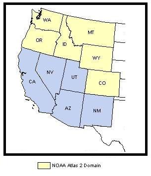
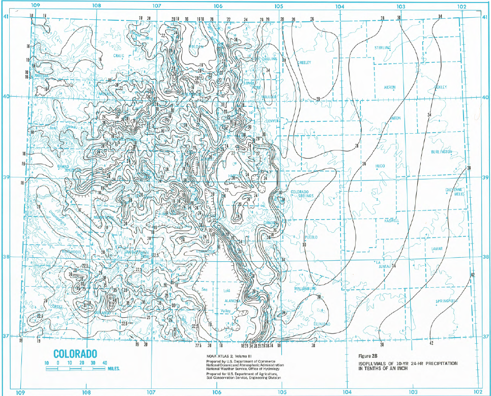
Example of Atlas 2 Precipitation MapStep 3:
You should now see a map of your state in the PDF viewer (a sample map is shown to the right). Use the PDF viewer to zoom in on your area of the state.Step 4:
Each of the black lines is an isopluvial line. These are lines that connect points on a map that have the same precipitation depth during our design rain event. They are similar to contour lines on an elevation map that connection all of the points with the same elevation. The blue lines indicate the features your would find on a typical map: state and county lines, rivers, etc.
To get the precipitation depth needed for the stormwater design calculator, you must first identify which isopluvial lines your property falls between.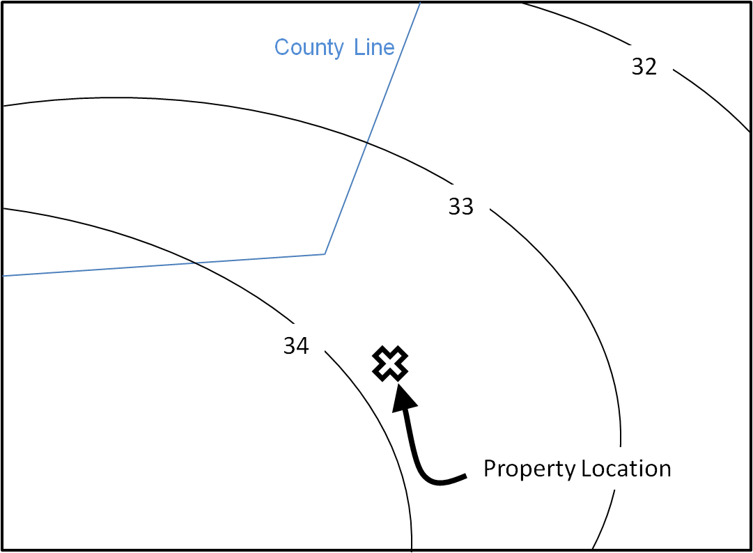
Isopluvial Interpolation Example
Look at the example on the right. The property falls between the isopluvial lines "33" and "34". That means the precipitation depth we need is somewhere between 3.3 and 3.4 inches. (Note: The numbers on the map are in tenths of inches, so to correct for thsi you must divide this number by ten, or move the decimal point on place to the right)Step 5:
Choose the precipitation depth for your property by selecting the value of the isopluvial line closest to your property area. In the case of our example on the right, we would chose 3.4 inches because it is closer. The maps in the PDF usually use an interval of 0.5 inches between each line. This half inch increment is percise enoug for these calculations.Step 4:
Write down the 24-hour, 10 year percipitation depth you pulled from the map in the form below.
Click submit to see the results of the caluclator!