


Runoff Calculator Page 3: Precipitation Fequency Data Server (PFDS)
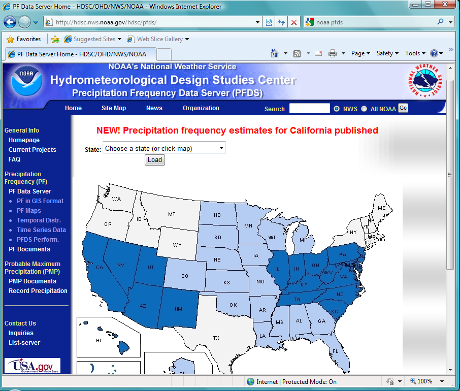
Figure 1: Screen Shot of NOAA's PFDS
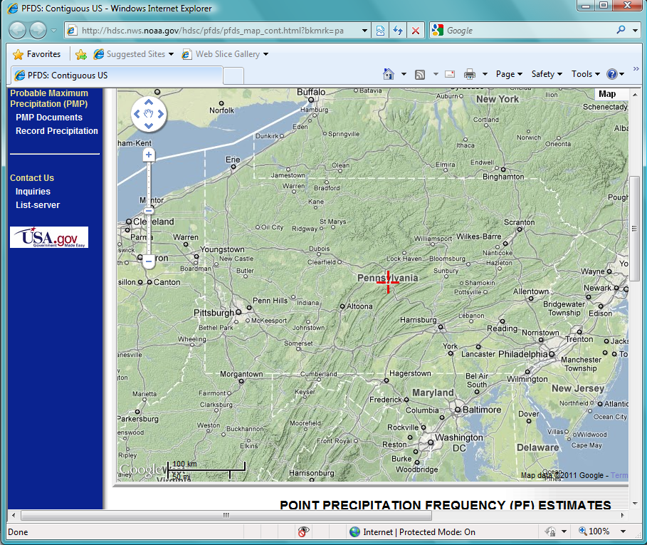
Figure 2: State Level Screen Shot Example
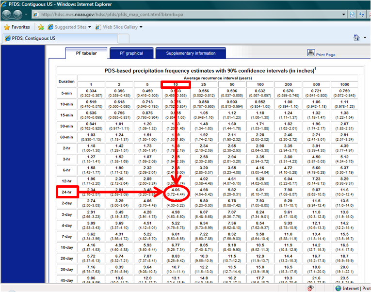
Figure 3: State Level Screen Shot Example
This page will help you determine the precipitation depth of a design storm in your area. The particular storm is one that would last for 24 hours, and has the probability of returning once every 10 years.
This specific storm event is often suggested by design manuals to size stormwater structures to reduce the contribution of runoff volumes to the sewer system.
Step 1:
A map of your state should be loaded in another browser window. If so, skip down to Step 3.
If this window did not open, click here.Step 2:
Select your state by either using the drop down menu, or just by clicking it on the map (it should be one of the dark blue ones).Step 3:
A map of your state should now be loaded (see Figure 2 for and example). Now, you must select the location of your property either by dragging the red arrow on the map, or by entering lat/long coordinates in the fields above the map. To help you identify your area, you can zoom in and out on map by using the appropriate buttons on the map.Step 4:
A data table should load beneath the map. Make sure the "PF Tabular" tab is selected. Identify the column representing a 10 year recurrecne storm event. Identify the column representing a 24 hour storm duration. Find the cell that falls in the "10 Year" column and the "24 Hour" row. This is the design precipitation depth. Scroll over Figure 3 for help finding this value.Step 5:
Enter this depth (in inches) in the field below.
Click submit to see the results of the caluclator!